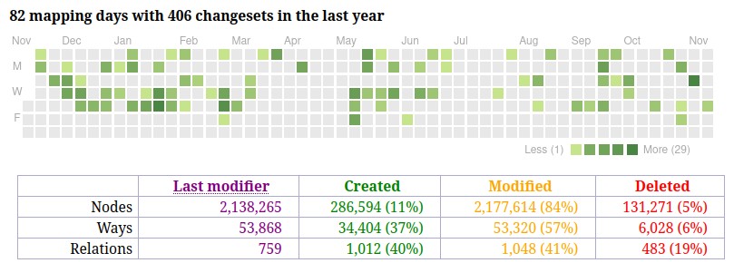
Making OpenStreetMap the Authoritative Source
A Model for Government Engagement with OSM
Josh Carlson

- GIS Developer for Kendall County, Illinois
- OSM Contributor since 2017
OSM - 2007
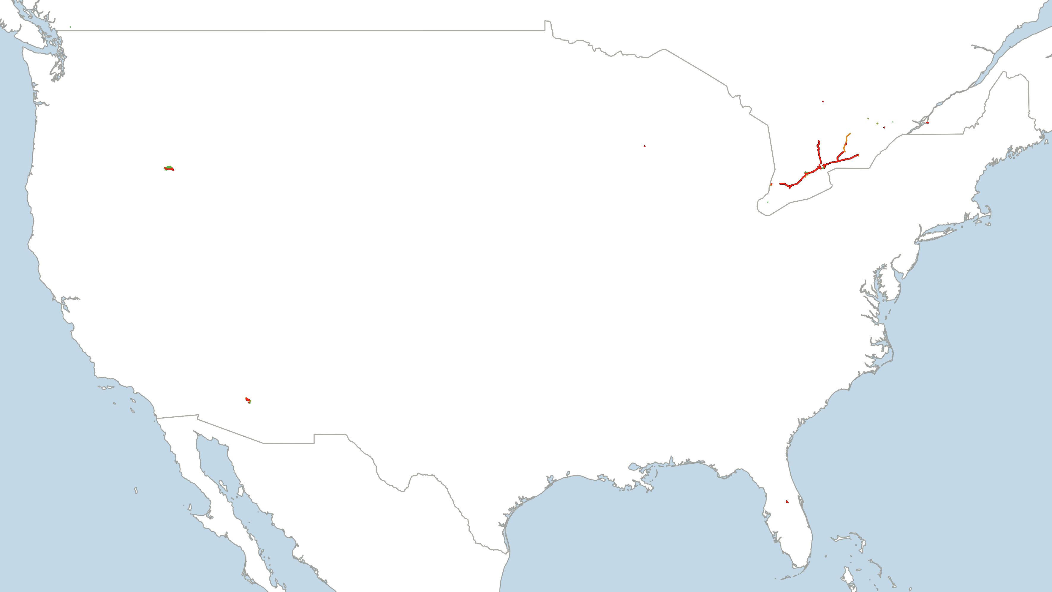
Highways and waterways in 2007
OSM - 2009
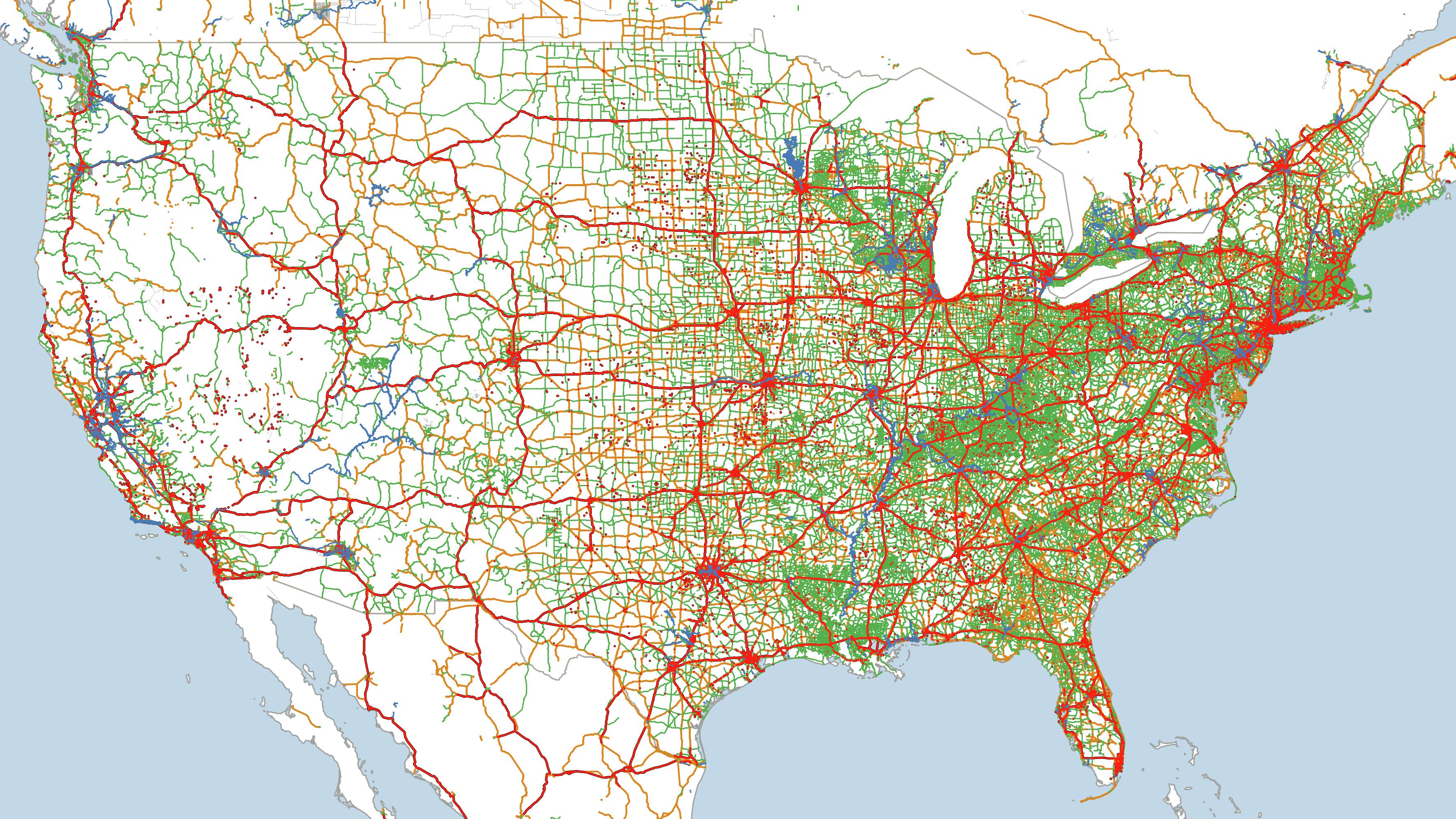
Highways and waterways in 2009
Make the switch!

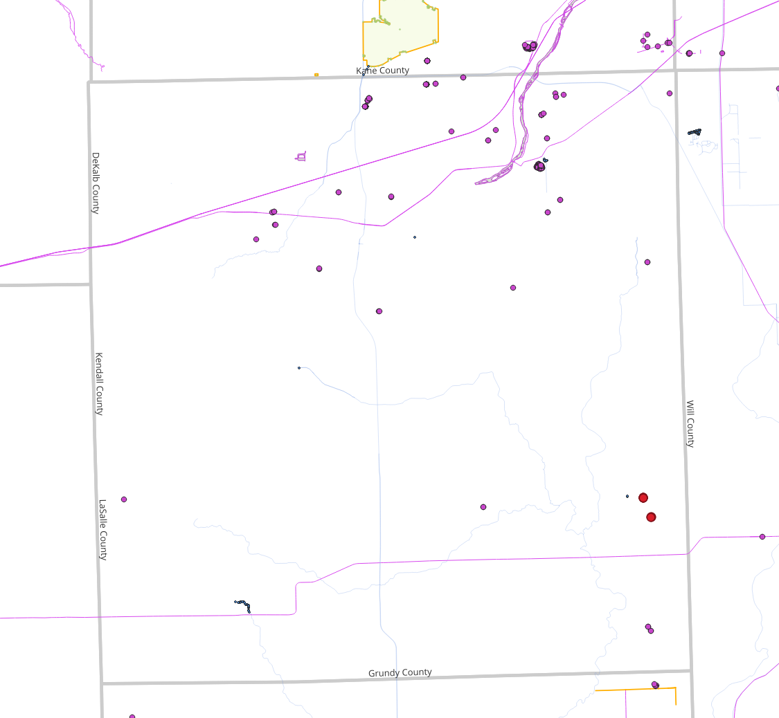
“Data Gardeners”
- Visualize all recent edits
- Color code by user status
- Internal
- Known, good
- Known, iffy
- Vandal
- Unknown