Hold Onto Your Pearls, Grandma! We’re Switching to OSM!

About Us

  • Community Organizational Member of OSMUS since 2024
  • Supporter Corporate Member of OSMF since 2024

(Yes, we’re on the Organized Editing wiki page!)

What’s “Authoritative”, Anyway?

It’s all about the source

  • What matters:
    • Official
    • Reliable
  • What doesn’t matter:
    • Means of access

OSM - 2007

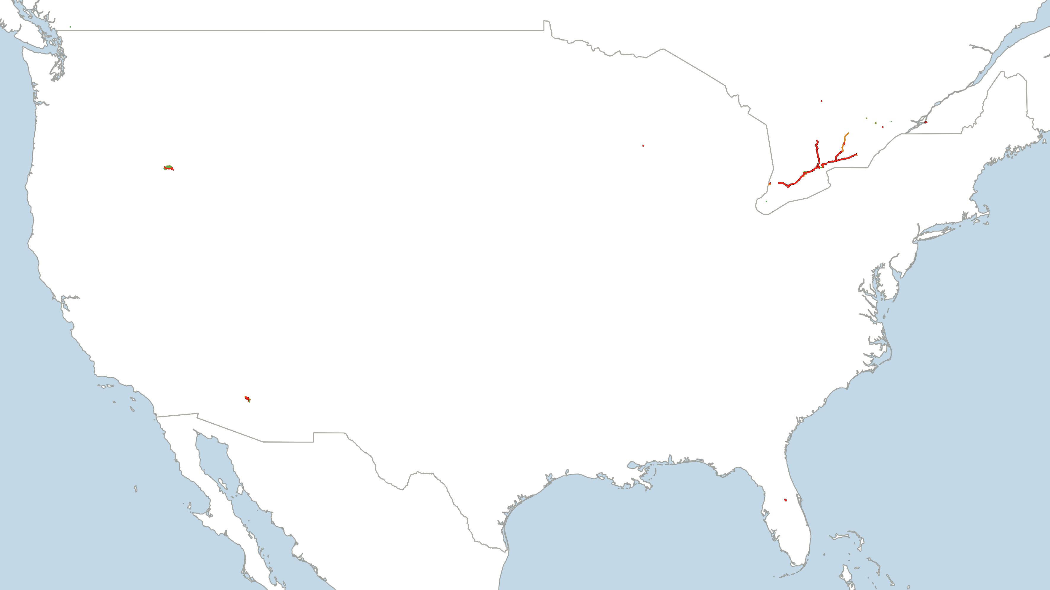
Highways and waterways in 2007

OSM - 2009

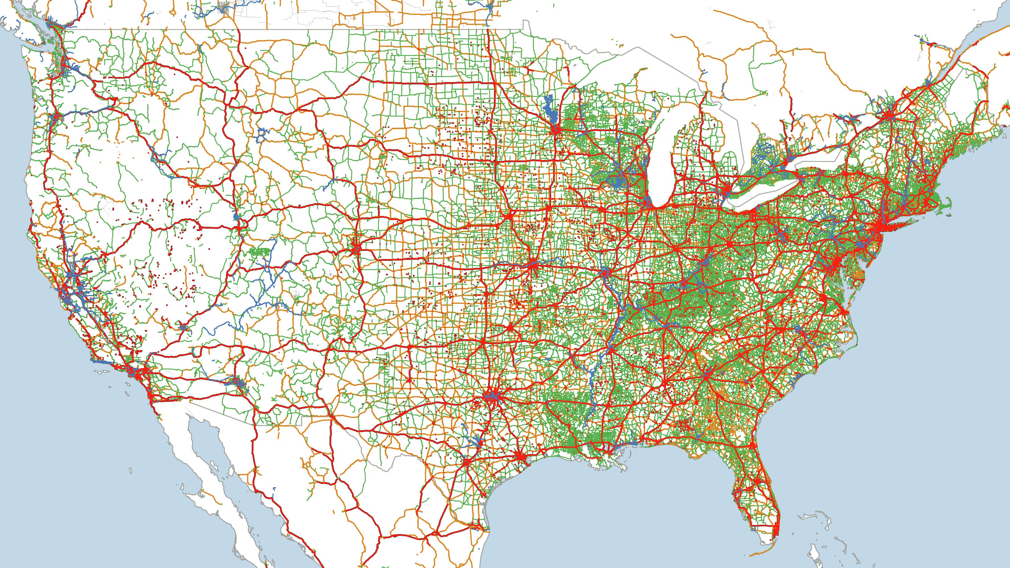
Highways and waterways in 2009

Kendall County

Make the switch!

Why We Switched

It’s not just out of the goodness of our hearts

  • History
  • Flexibility
  • Collaboration
  • OSM and FOSS are cooler

Due Diligence

“Data Gardeners”

  • OSMCha
  • QGIS project
  • MapRoulette
  • Tasking Manager

But is it authoritative?

By engaging directly with OpenStreetMap:

  • OSM is the official source, not a mirror of one
  • All edits are reviewed by staff
  • Quality has improved across the board

Okay but we still have Esri stuff

OSM Extract / Sync

flowchart LR

osm[(OSM)] -- osm2pgsql -->
pgsql[(PostGIS)] -- sql, geopandas -->
prtl[(ArcGIS\nEnterprise)]

Light Technical Details

  • SQL gets jsonb into tabular format
  • Uses changeset timestamp to isolate recent edits
  • Compares against Esri layers using osm_id
  • Selectively applies adds, updates, deletes
  • Updates nightly without issue!

Questions?

Be in Touch!