Have it Both Ways
Connecting to and Editing ArcGIS Feature Services in QGIS

Worth Paying For?
(Soapbox Warning)


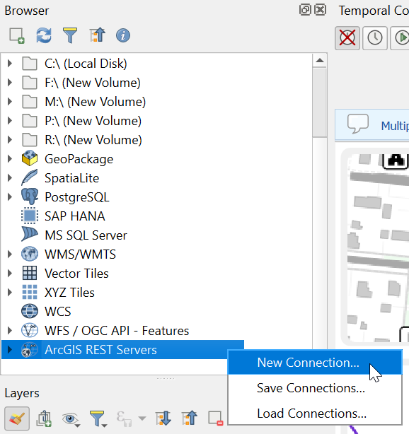
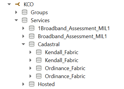
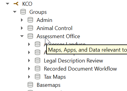
Via Browser Panel
Via Data Source Manager
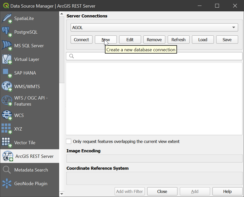
New Connection Dialog
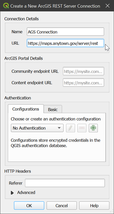
Let’s use the US Census TIGERweb as our example.
- name:
TIGERweb - url:
https://tigerweb.geo.census.gov/arcgis/rest/services
No other settings need to be configured.
Anonymous vs Authenticated
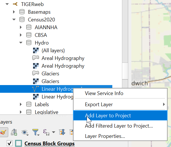
Add from Browser Panel
Add from Data Source Manager
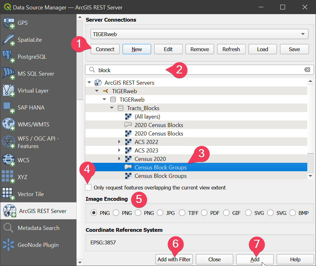
- Click “connect” to view services
- Search / filter by service name
- Select service from list
- Set spatial filter on service
- For image services, request images be encoded in specific format
- Add with an attribute-based filter 1
- Add layer
