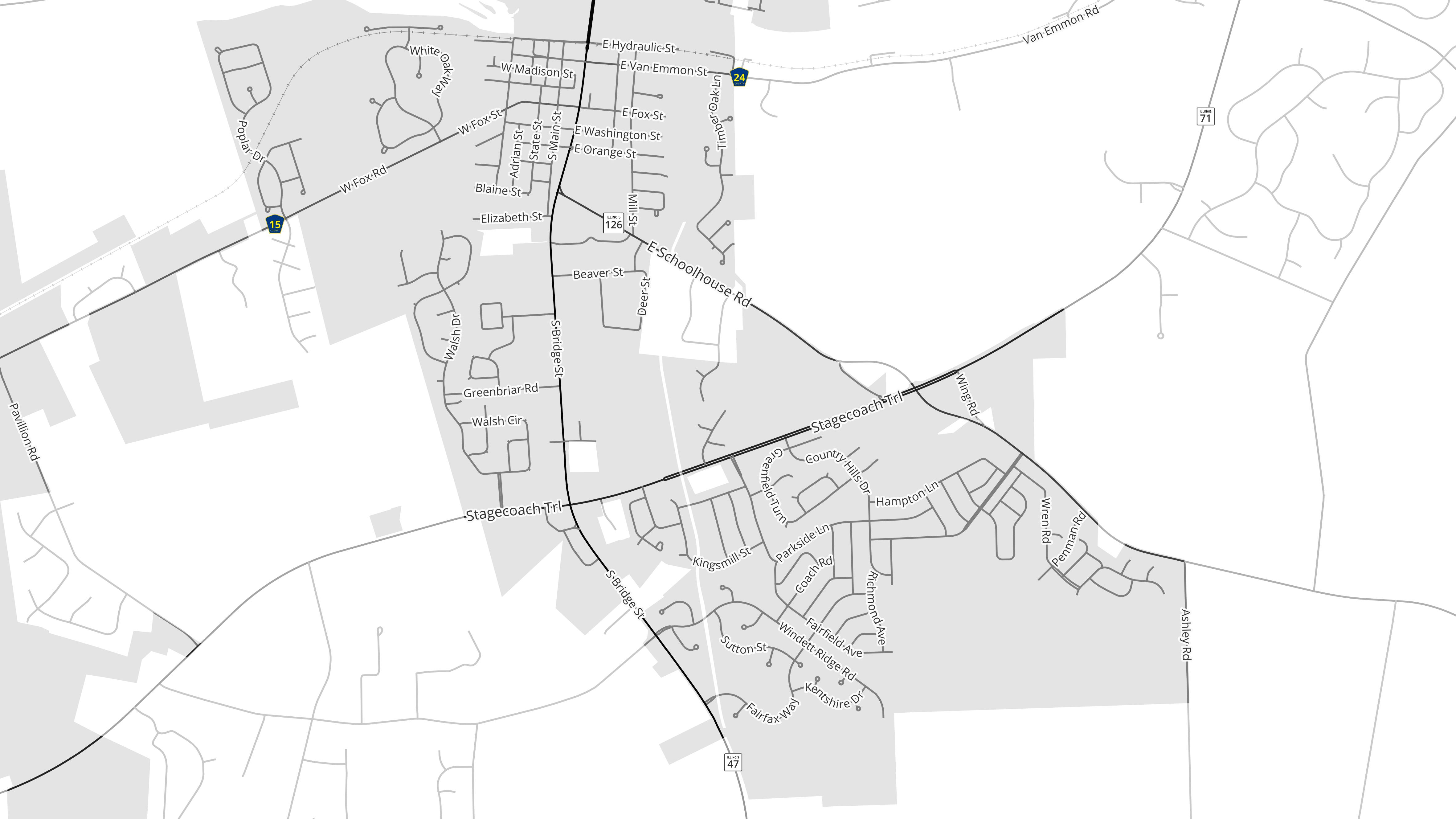
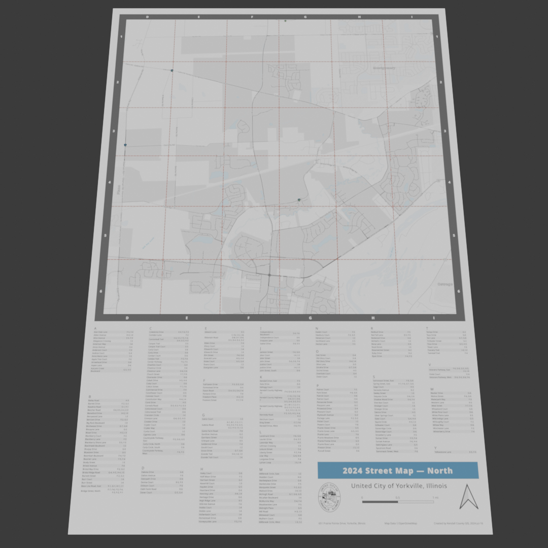
ST_SquareGrid for a Dynamic Street Map Index
OpenStreetMap + PostGIS + 0 Intermediate Layers
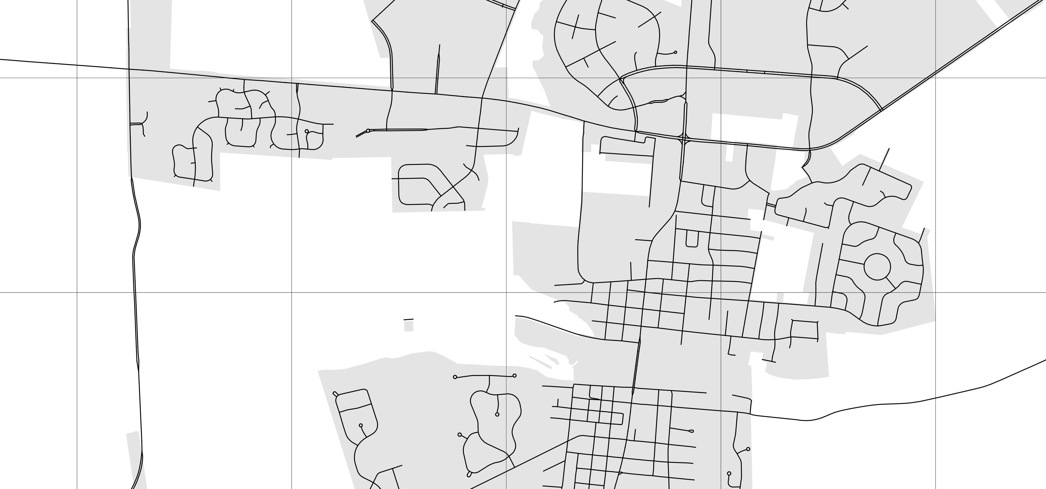
Essential Components
- City Streets
- Municipal boundary
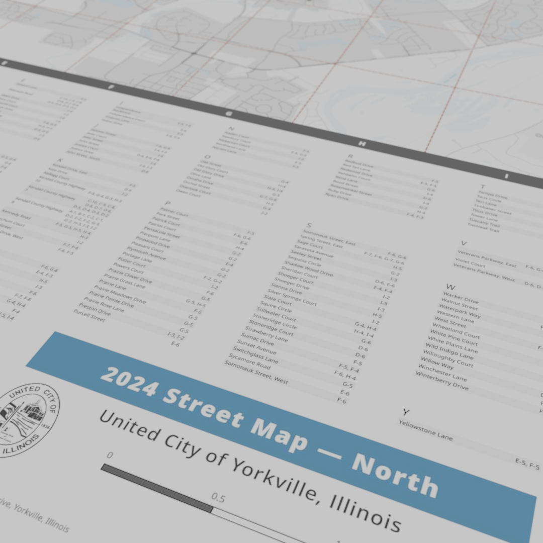
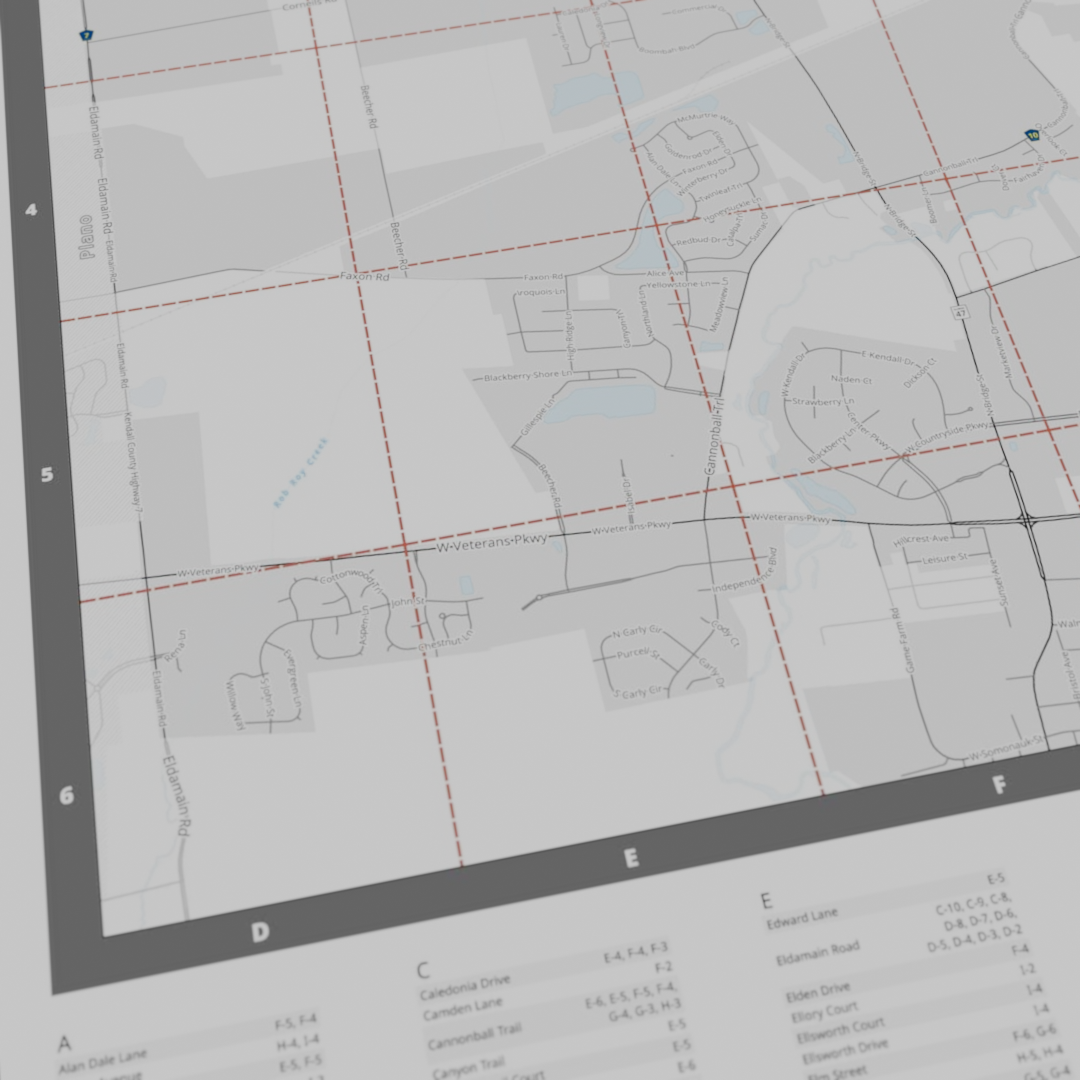
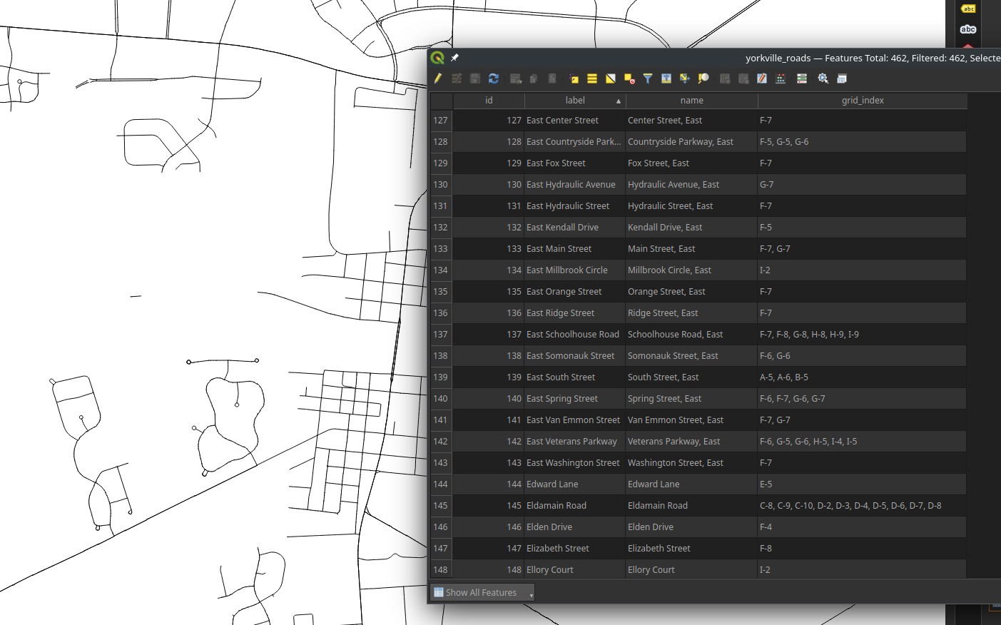
- An alphanumeric grid
- Street index based on grid
- Other nearby features for context

Step One: Research
Thanks, DuckDuckGo!
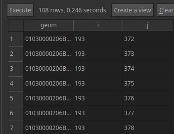
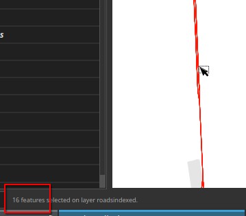
Step Two: SQL
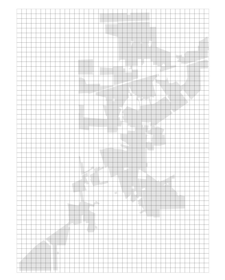
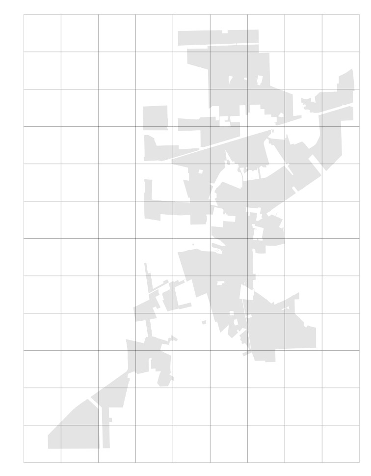
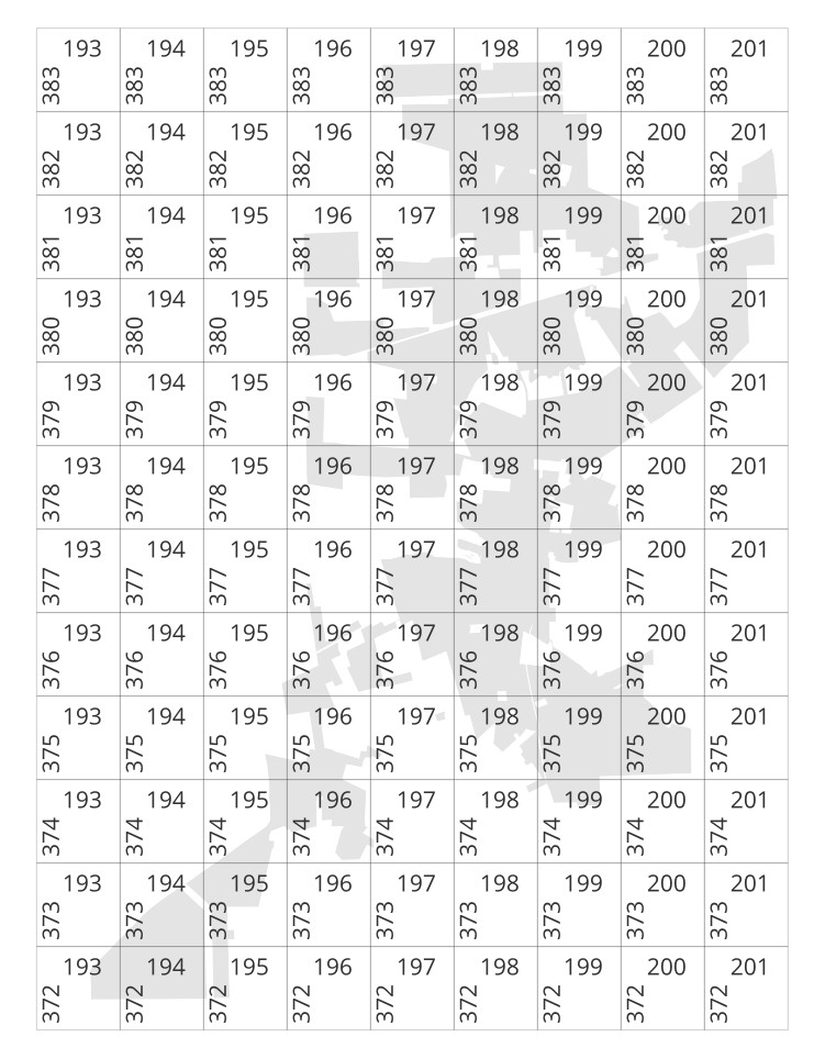
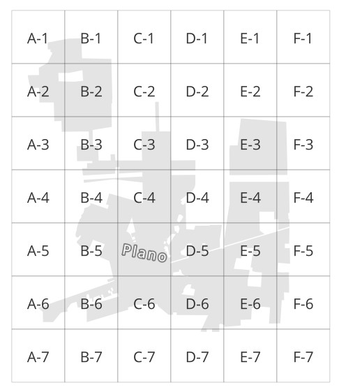
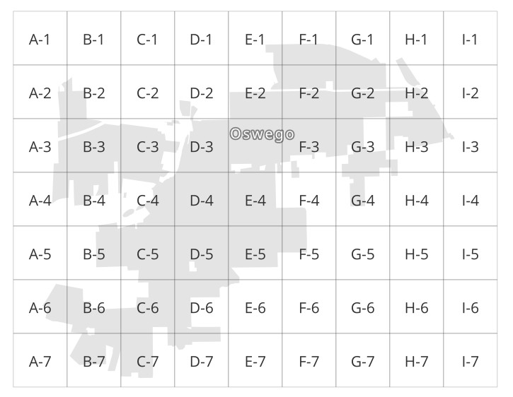
Step Three: Proper Grid Size
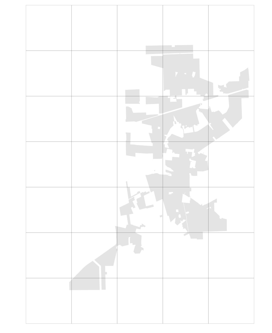
Step Three: Proper Grid Size
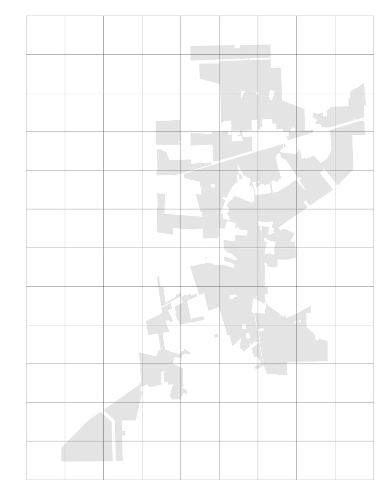
Step Three: Proper Grid Size
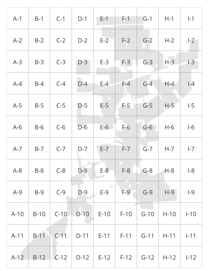
Cell Labels
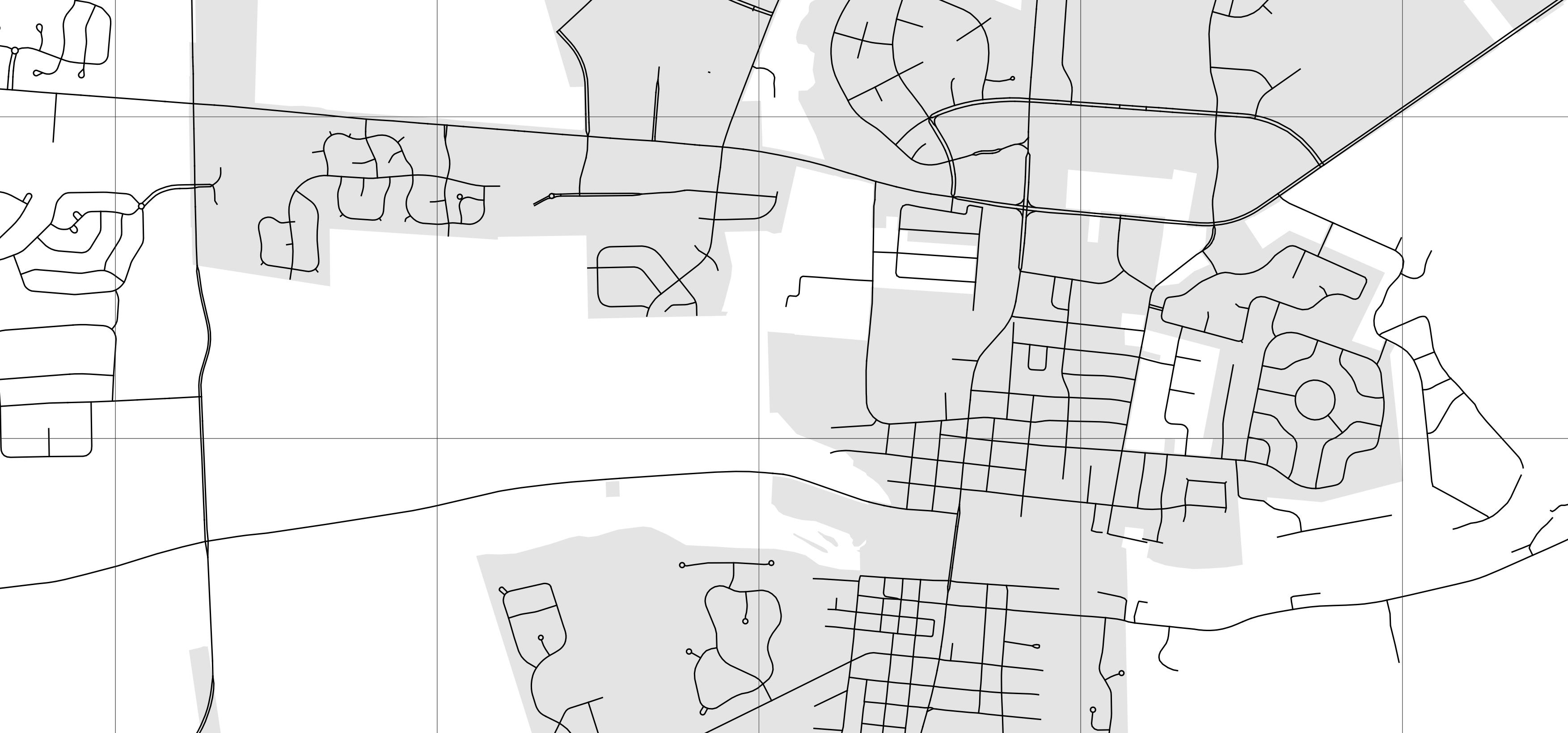
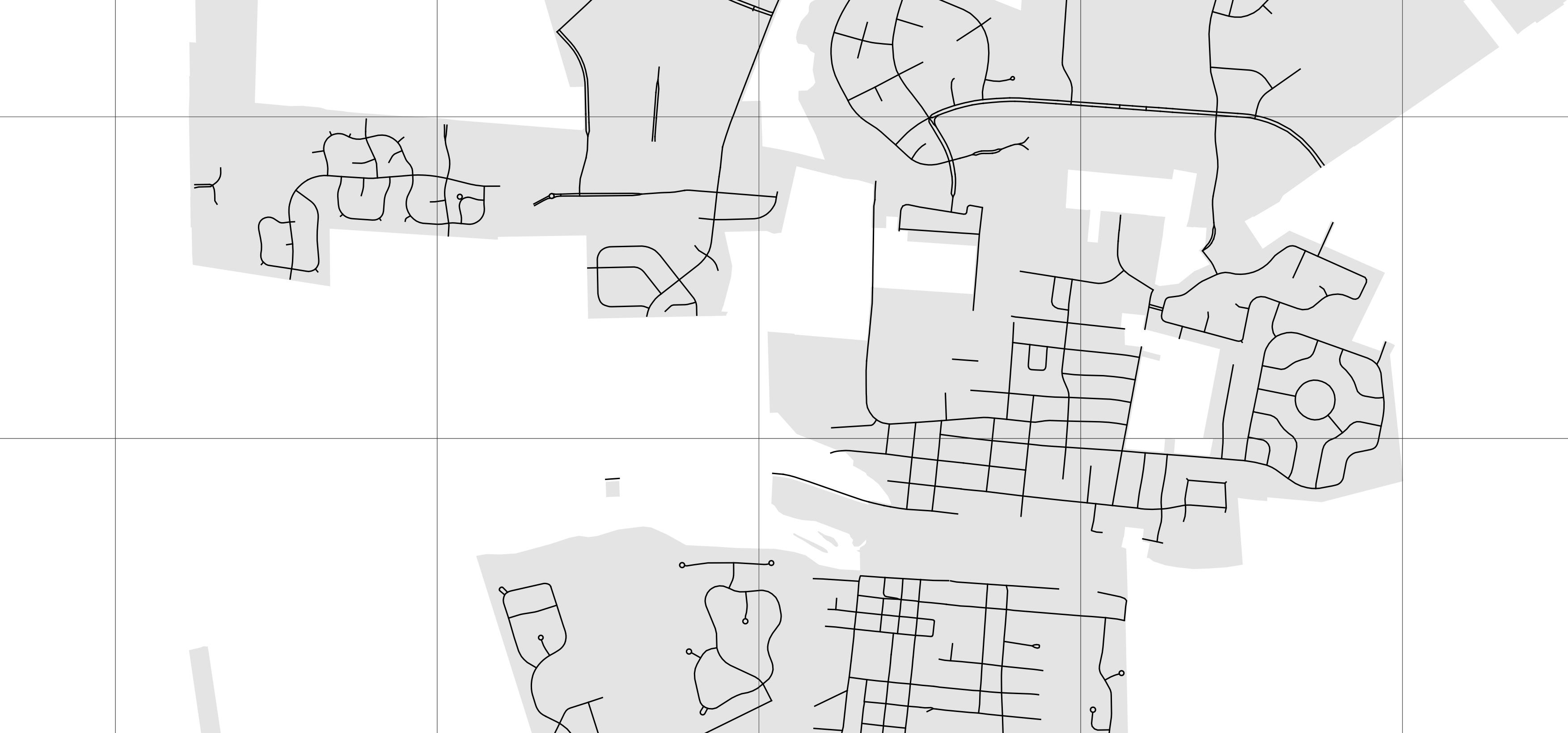
Centerlines
Keep it City-Centric
Keep it City-Centric
Keep it City-Centric
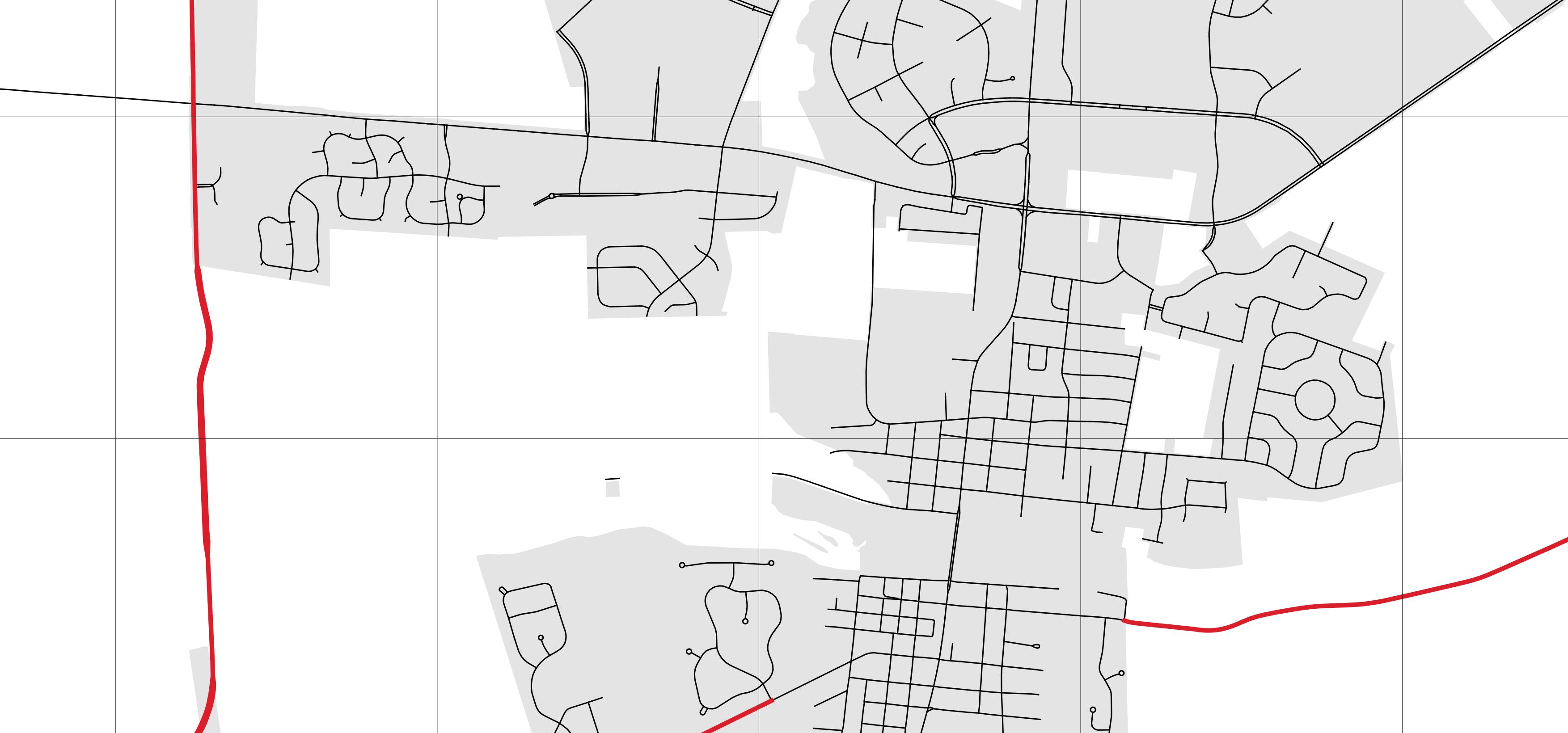
Rookie Mistake
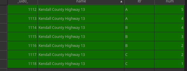
Replacements
-- in the final select
  name label,
  case
    when name = 'West Street' then name
    when name like 'West %' then substring(name, 6) || ', West'
    when name like 'East %' then substring(name, 6) || ', East'
    when name like 'North %' then substring(name, 7) || ', North'
    when name like 'South %' then substring(name, 7) || ', South'
    else name
  end name,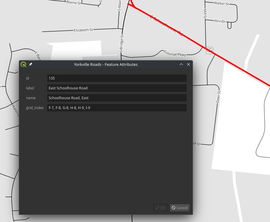
Other Roads